June 17, 2006 - Baker City to Portland (Columbia River Gorge)
|
| I left Baker City around 5:30PM and continued north through the valley, paralleling the Blue Mountains. The covered wagons had to get through the Blue Mountains to get to the Columbia River valley. They did so about about 30 miles up the valley where there was a gap in the mountains. Like much of the Oregon Trail, a highway mirrors their route -- in this case highway 84. |
| |
 |
|
|
Highway 84, heading towards the gap in the Blue Mountains.
|
| |
 |
|
| I wonder if these are ruts getting up the mountains. My book says the Blues had the steepest grades the immigrants had encountered so far on the trail. |
| |
 |
|
|
The town of La Grande at the base of the Blues.
|
| |
 |
|
| I was really struck by how different these mountains were from what I was used to the last few days. These mountains were covered with green grass and pine trees, instead of brown dirt. |
| |
 |
|
| Heading into the mountains. |
| |
 |
|
| I could have landed on top of the mountain, no problem. |
| |
 |
|
|
The Blue Mountain range wasn't very wide. I can see the Columbia River valley up ahead.
|
| |
 |
|
| Coming down out of the mountains. I think those are ruts running from right to left in the bottom part of the image. |
| |
 |
|
|
My first sighting of the Columbia River, off my right wing.
|
| |
 |
|
| The inevitable dam. |
| |
 |
|
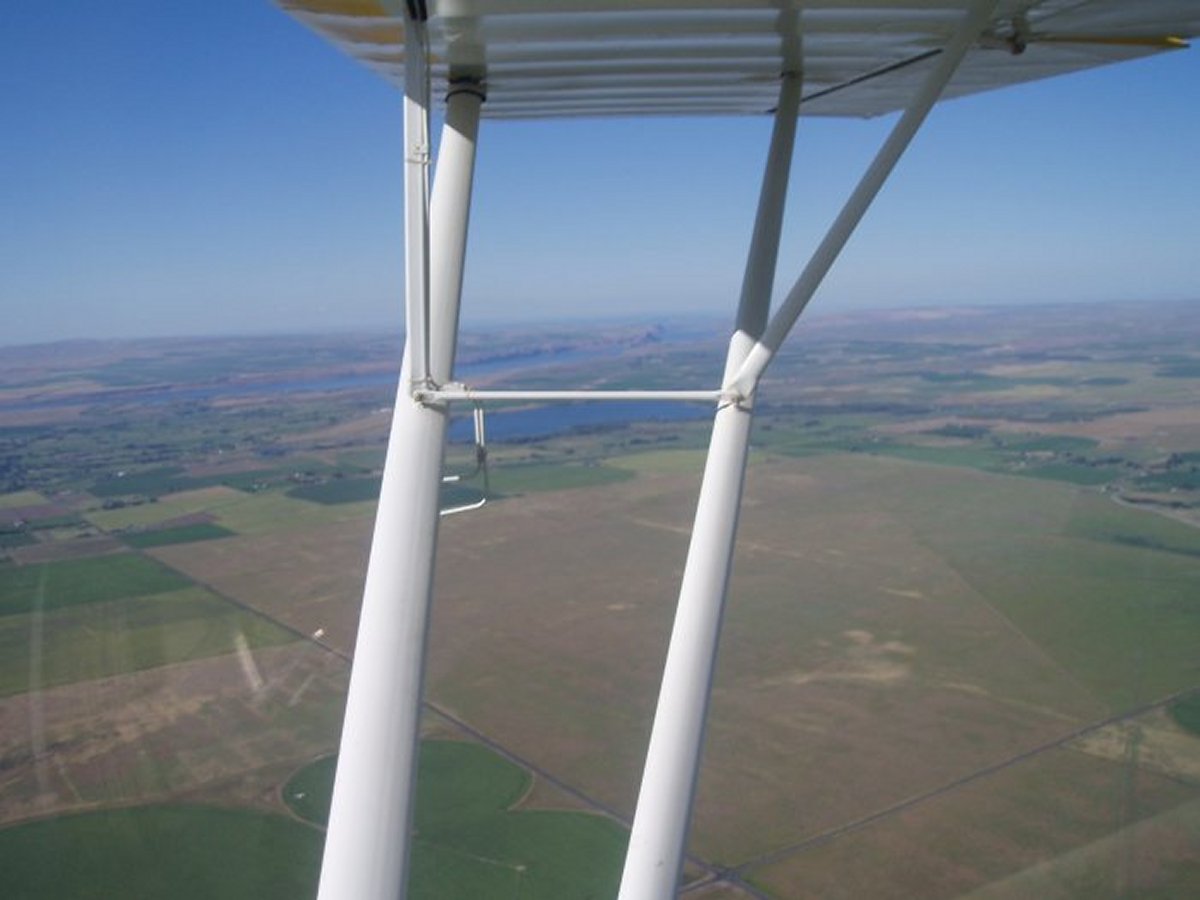
| Flying west, along the north shore of the Columbia River. It's surprising the terrain is so brown and undeveloped, given all the water. |
| |
 |
|
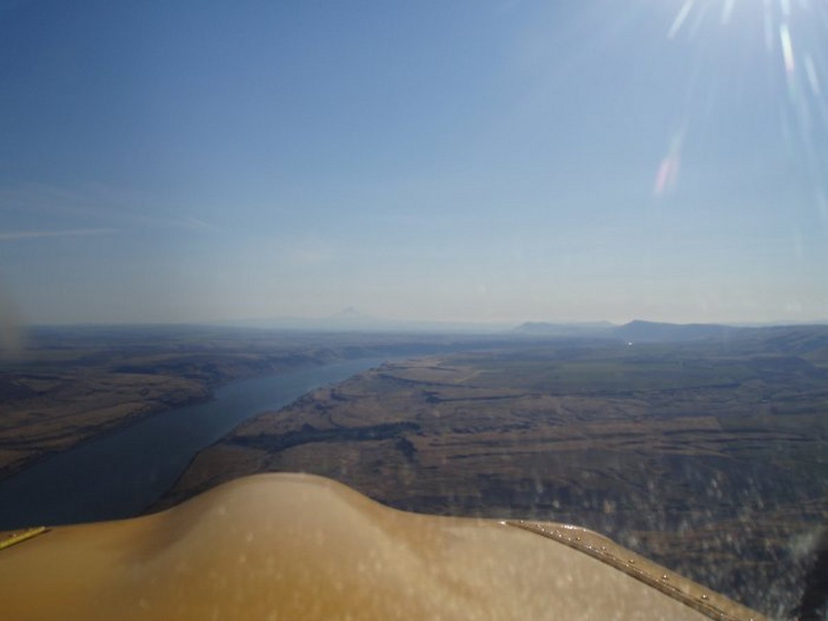
| As I contined west, the river started cutting into the land. Notice Mount Hood -- elevation 11,239 feet -- in the distance dead ahead. |
| |
 |
|
|
Now we are seeing some serious cliffs on each side of the river. And some pretty rugged terrain in spots.
|
| |
 |
|
| Really unusual terrain. |
| |
 |
|
|
That's Mount Adams -- elevation 12,120 feet -- to my right (north).
|
| |
 |
|
| A river gorge merging with the Columbia to the left (south). |
| |
 |
|
| The Dalles. I had heard of this place and have always been curious about it. Why is the name of the city "The Dalles"? It is known for always being windy, and sure enough, the winds at this airport as I flew over were 30 mph. Everywhere else the winds were light. My theory is that the wind from the Pacific Ocean gets funneled through the Columbia River gorge and exits into this area at high velocity. I think this area is a world-class wind-surfing place. No, I didn't land here. One 30 mph winds landing was enough for me. |
| |
 |
|
| Mount Adams to the right. |
| |
 |
|
|
I am entering the Columbia River gorge. Even though I was over 4,000 feet high, the mountains on each side kept climbing. And in the distance, I could see the tops of Mount Hood to the south and Mount Adams to the north. This is Mount Hood.
|
| |
 |
|
|
ZZZ
|
| |
 |
|
| Mount Adams. Unfortunately, it was late in the day, and I was heading directly into the sun. It would be awesome to do it early in the morning with the sun at your back. |
| |
 |
|
| Waterfalls are one of those things that are more impressive seen from the ground than in the air. |
| |
 |
|
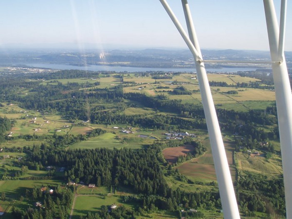
| And then I was through, and into the Portland area. Everything was incredibly green. But I couldn't enjoy it too much because I was busy staying out of Portland's Class B airspace. |
| |
 |
|
I landed at Pearson Field, which is a general aviation airport on the north side of the Columbia River, in Vancouver, Washington. Portland International airport is right across the river! But there is a little cutout in the Class B airspace so you can get into Pearson Field. I didn't have any trouble but you had better know what you are doing and paying attention to where you are.
Although it was 8:45 PM, the FBO office was still open and I was able to get a room in a hotel fairly close to the airport. There was no courtesy car or shuttle so I had to take a cab, but it didn't cost much since the hotel was so close.
|
| |
 |
|
| There is a little aviation museum on the airport grounds but I arrived too late and departed too early to visit it. |
| |
 |
|
| |
| |
|
|
|
|
|
|